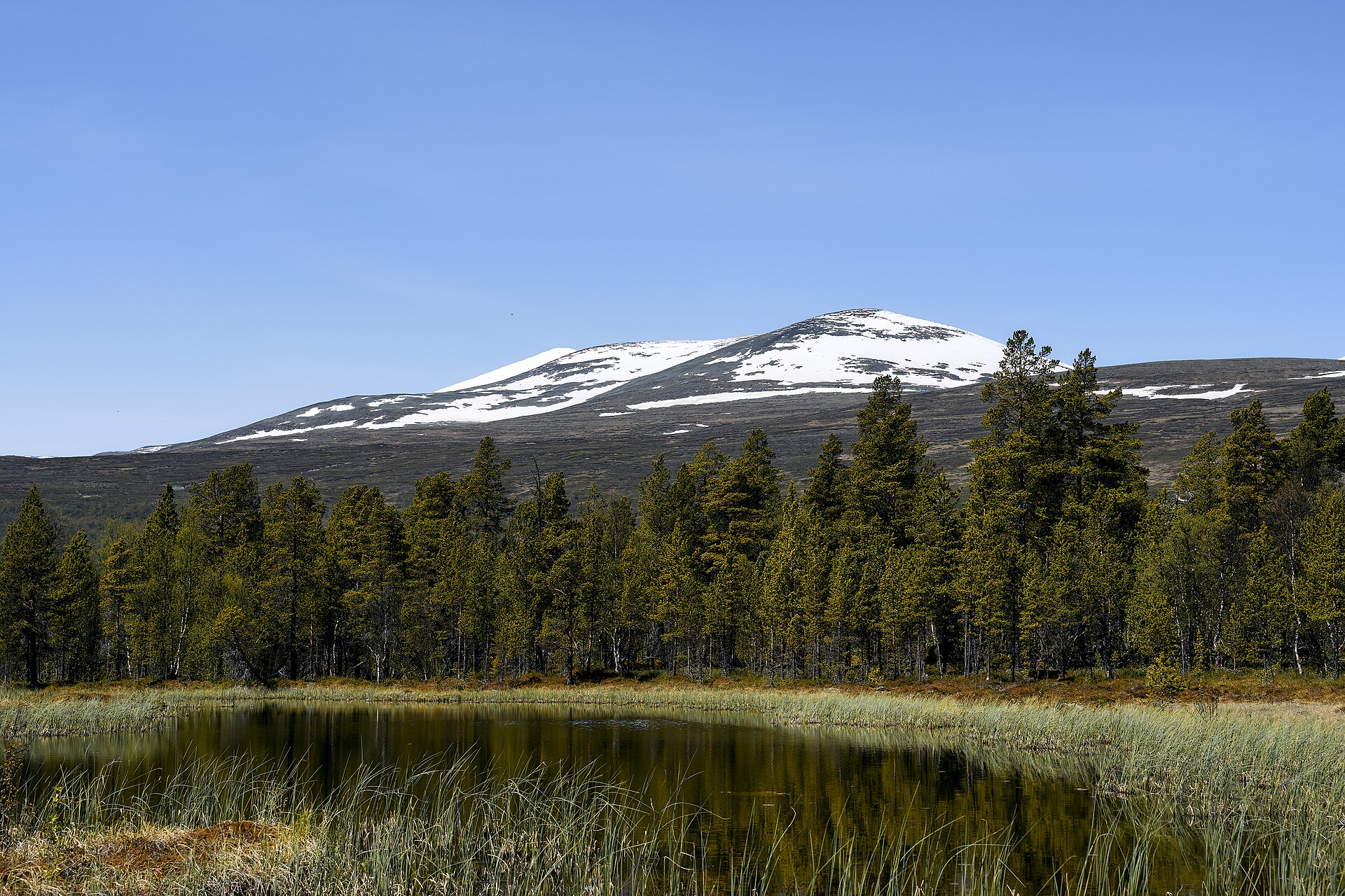
Photo: Øyvind Holmstad / Wikimedia Commons (CC BY-SA 4.0)
- Length
- 49 km
- Drive time
- 1 h 10 min
- Season
- Summer only
Valdresflye lifts the road onto a broad, treeless plateau between Vågå and Beitostølen, skirting the eastern wall of Jotunheimen. The high point looks across to peaks and the turquoise glacial lake at Vargebakkane and the Utsikten rest area gives walkers a balcony over the expanse. It is one of the easiest ways to feel genuinely high in the Norwegian mountains.
MountainsHigh mountainEasy driving
Highlights
Vargebakkane / Utsikten
viewpointA plateau viewpoint and rest area on the edge of Jotunheimen.
Places to see along the Valdresflye
Within 25 km of the road, closest first.
- Sikkilsdalen6 km
- Vinstre7.7 km
- Øvre Sjodalsvatnet15 km
- Steindalen, Gudbrandsdalen16 km
- Slidrefjord18 km
- Bessvatnet19 km
- Volbufjorden19 km
- Heidal19 km